Short visit
Allow about 45–90 minutes beyond driving time for one numbered auto-tour stop and one short grove walk. The visitor center and Gould Grove form a compact central option.
State Route 254 · Phillipsville to Pepperwood
A close-up guide to the roughly 32-mile scenic route through Humboldt Redwoods State Park, with actual road geometry, eight numbered auto-tour stops, communities, facilities, and clearly separated side trips.
Arrival: CA 254 scenic-road South Entrance, not a parking destination.
Approach: Leave northbound US-101 at Avenue of the Giants / Phillipsville and join CA 254 north. Continue to the North Entrance; use designated day-use lots for stops.
Road itinerary, not an individual river entrance. Northern return connection differs by travel direction.
Official directions & access ↗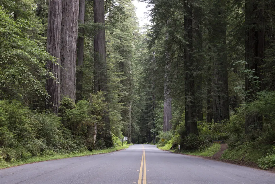
South → North
Use the signed road name first; the exit number is a smaller reference. Nearby stops remain on their own destination pages.
The map shows State Route 254 in amber and US 101 in green. Destination markers are separate records and do not redraw the road.
Allow about 45–90 minutes beyond driving time for one numbered auto-tour stop and one short grove walk. The visitor center and Gould Grove form a compact central option.
Drive one half of the Avenue, stop at two numbered panels, and choose one established loop. Northbound visitors can finish at Drury-Chaney; southbound visitors can work toward F. K. Lane Grove.
Drive the full scenic route, use several numbered stops, and add one Bull Creek side trip only if road conditions and daylight allow. Driving time and time exploring are separate.
Short walks: documented routes of 2 miles or less total. Short does not mean level or open; check each guide.
178 places
No places match these filters.
Vehicle access closed; pedestrian grove open
Trailhead closed
Trail closed
Listed south to north. Follow signed entrances and each destination’s manager information.
Route length and end connections: California State Parks and Humboldt Redwoods Interpretive Association. Road alignment: local OpenStreetMap-derived GeoJSON, checked September 8, 2026. Check current route conditions before departure.