Weather
Leggett: Tonight 43°F · Partly Cloudy.
National Weather Service · Updated Oct 22, 2026, 8:57 PM PDTFull forecast →Conditions, places, and stories from redwood country.
Leggett: Tonight 43°F · Partly Cloudy.
National Weather Service · Updated Oct 22, 2026, 8:57 PM PDTFull forecast →Eel at Scotia: River level is steady.
U.S. Geological Survey · Updated Oct 23, 2026, 12:30 AM PDTFull readings →Caltrans lists 3 one-way traffic-control work zones on US 101 in Humboldt and Del Norte counties. Open the full report for locations and schedules.
Caltrans Highway Information Network · Updated Oct 23, 2026, 12:56 AM PDTFull road report →The State Parks restrictions panel was checked but contained no notice text. This is not confirmation that all facilities are open; check the official park page before visiting.
California State Parks · Updated Oct 23, 2026, 12:54 AM PDTPark notices →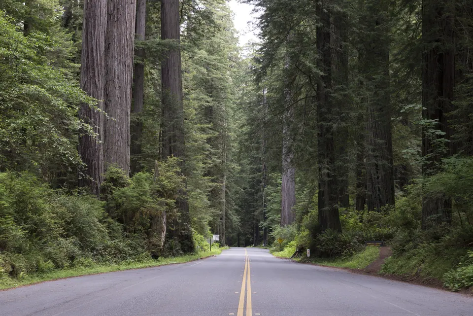
Scenic State Route 254
The roughly 32-mile scenic route parallels US 101 from Phillipsville to Pepperwood, passing Humboldt Redwoods groves, small communities, and signed visitor stops.
Short walks: documented routes of 2 miles or less total. Short does not mean level or open; check each guide.
178 places
No places match these filters.
Vehicle access closed; pedestrian grove open
Trailhead closed
Trail closed
Redwood parks & scenic roadsAccess, vehicle fit, and planning sources›
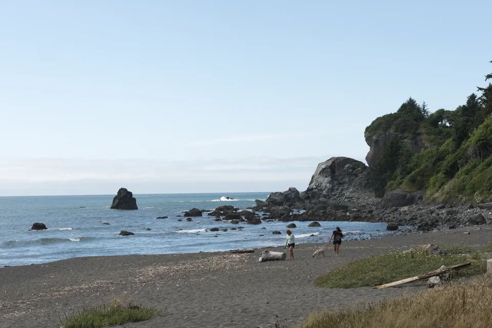 Coastal access & viewpointsBeach cautions and official conditions›
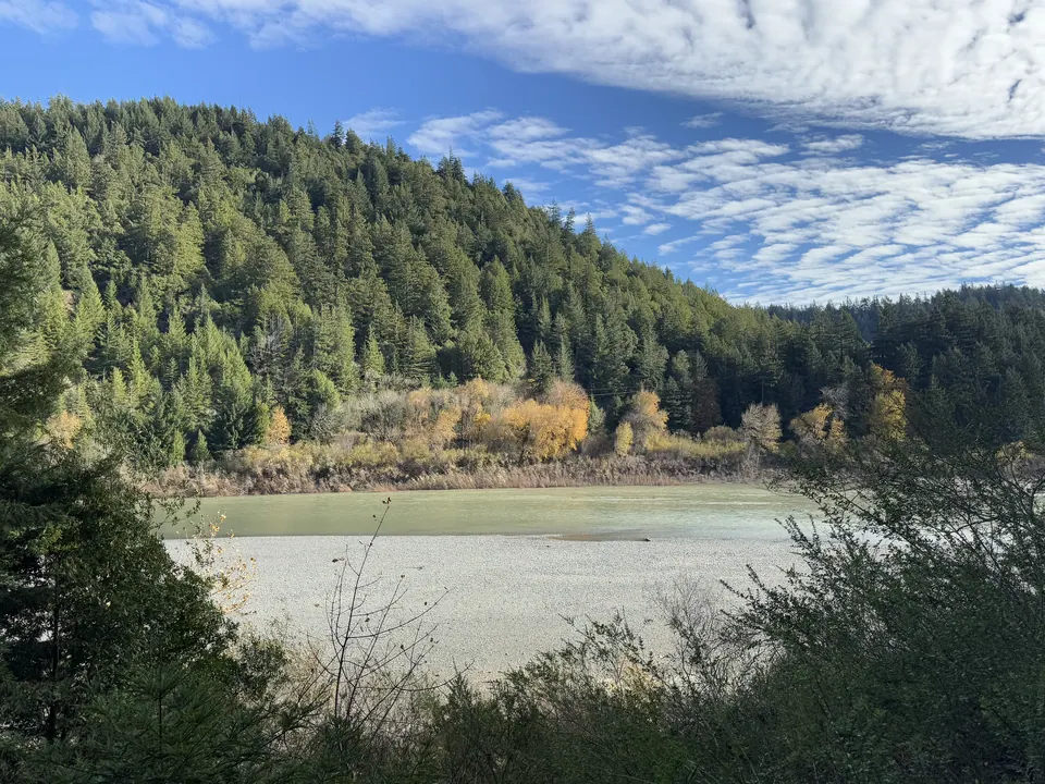 Rivers & weatherOfficial-source observations and forecasts›
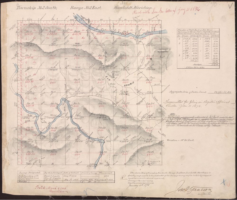 Maps & regional historyRecords, context, and a research path›
View the complete route guide →
Majestic forestsWalk among giants and discover ancient groves.
Rivers and waterwaysRead the gauges, then follow the official source.
Dramatic coastlinePlan viewpoints with surf and weather in mind.
Maps & regional historyRecords, context, and a research path›
View the complete route guide →
Majestic forestsWalk among giants and discover ancient groves.
Rivers and waterwaysRead the gauges, then follow the official source.
Dramatic coastlinePlan viewpoints with surf and weather in mind.
Photography credits and reuse terms are listed in Sources.
Long before modern travelers followed Highway 101, Indigenous routes, rivers, ridges, later wagon roads, railways, and survey lines connected the region. Explore historical maps and public records without confusing an old line on paper for a present access right.
Explore the Jay Smith Road reference library →Historical reference; not a current access map.Keep useful destination pages and written directions available in poor reception.
Northern California
field guide.